

On the Slovenian territory, the region of Spodnje Podravje represents an area with common developmental issues on one side, and a number of developmental opportunities on the other. The realisation of the later to the advantage of the entire population within the region can be achieved best by constituting the entire area as a region, acting on behalf of its own developmental strategy and programmes aimed at independently directing future development in the fields of economy, social life, culture, spatial planning and environment.
The area of the Spodnje Podravje region extends over 16 municipalities, and they are: Cirkulane, Destrnik, Dornava, Gorišnica, Hajdina, Juršinci, Kidričevo, Majšperk, Markovci, Podlehnik, Mestna občina Ptuj, Sveti Andraž v Slovenskih goricah, Trnovska vas, Videm, Zavrč and Žetale.
Žetale
The Spodnje Podravje region is a relatively densely populated area mainly consisting of agricultural land, and includes the Haloze hills and some parts of the Slovenske gorice hills as well as the flatland Ptujsko polje along the river Drava and its tributaries.
In the north, the Spodnje Podravje region also includes the central and western part of the Slovenske gorice hills, extending from Krčevina pri Vurbergu over the river Pesnica through the municipality Sveti Andraž v Slovenskih goricah.
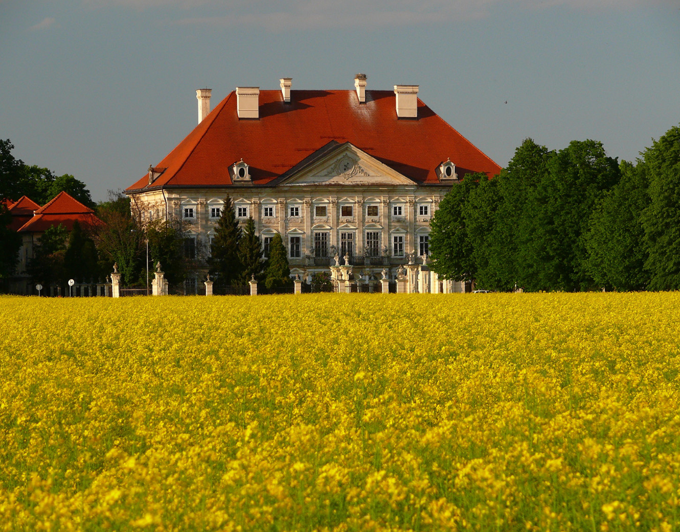
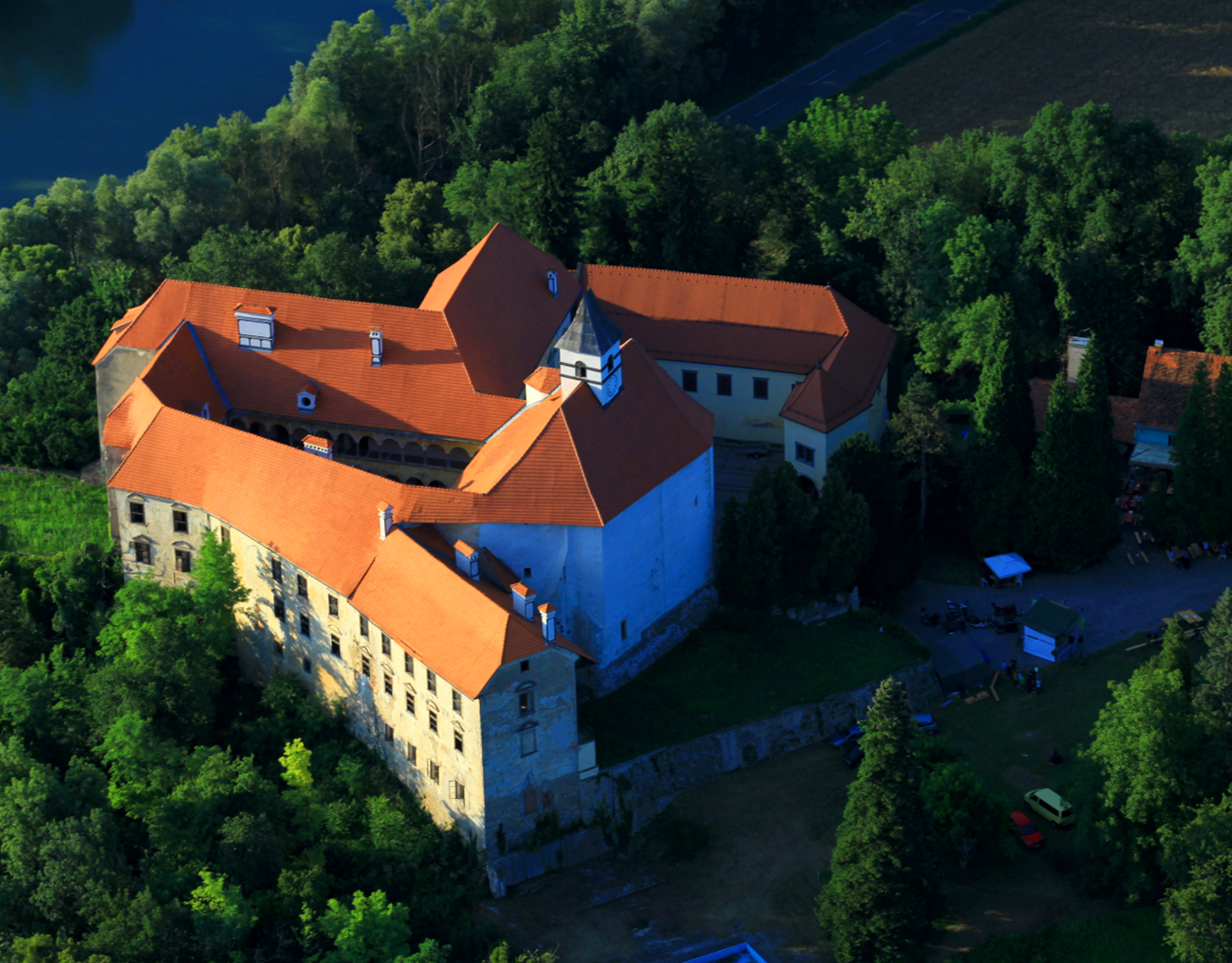
Dornava
Markovci
Sveti Andraž
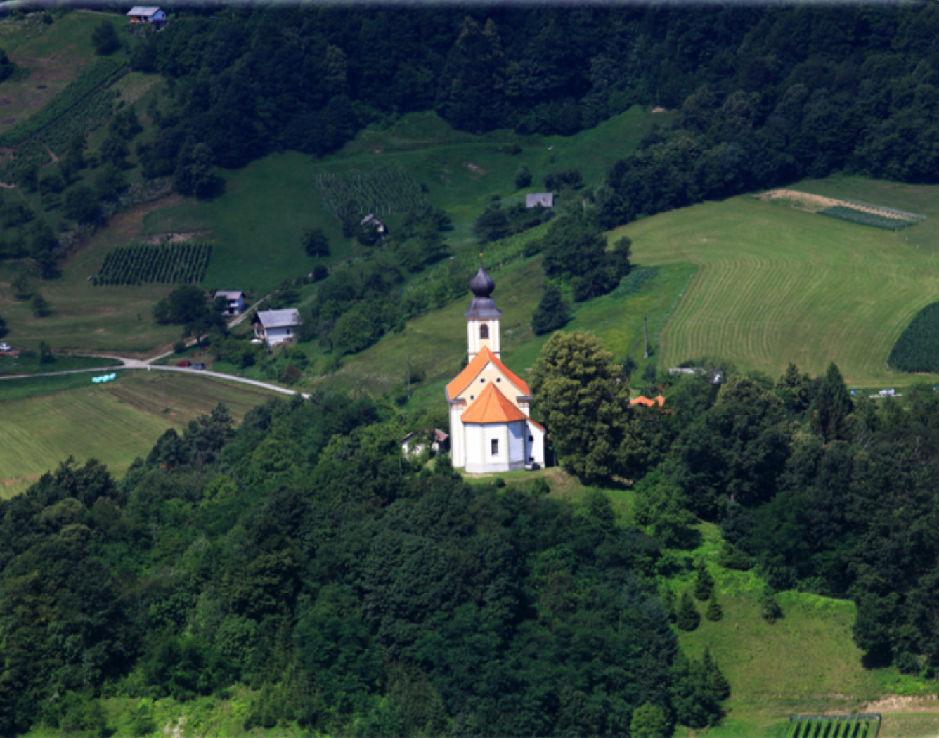
Žetale

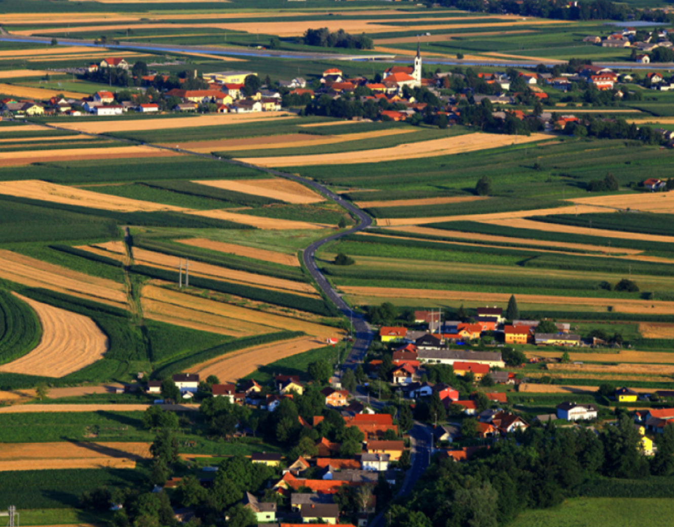
Videm
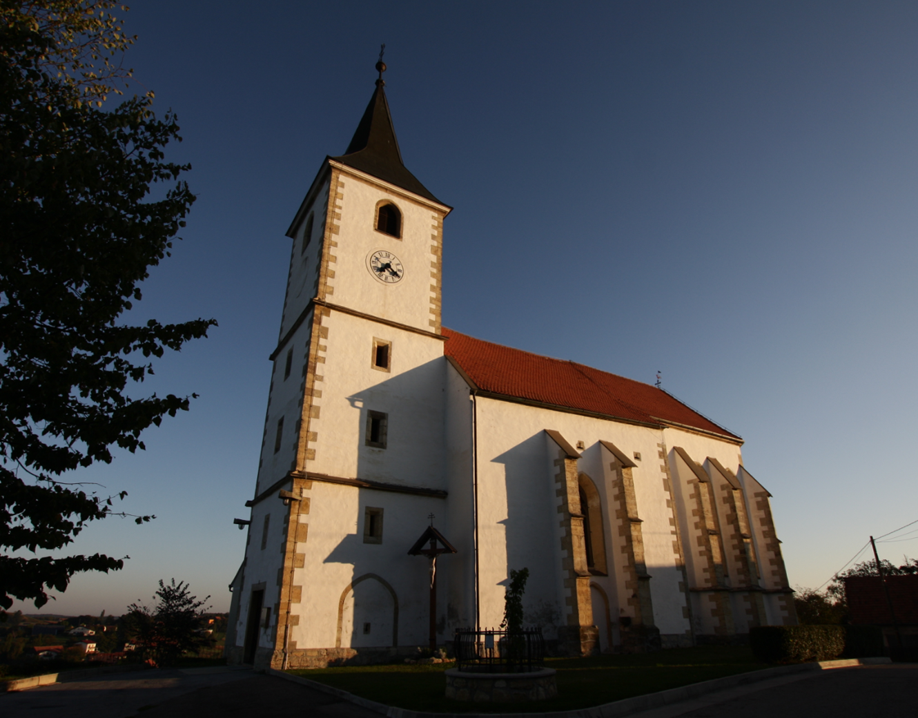
Cirkulane
Haloze is a hilly area extending from the stream Jelovški potok near Makole at its western end along the Croatian border as far as Zavrč in the east. The eastern part is a winegrowing area with vineyards covering approximately one tenth of the land, whereas almost one half of the western part is covered with forests. The border runs through the Peklača valley.
Geologically, a large part of the flatland Ptujsko polje consists of river gravel, covered by a layer of fertile humus which makes the land perfect for agriculture. Some of the names of nearby villages still remind us that the entire area was once covered with forests – Bukovci (from Slovenian bukev, meaning beech), Borovci (from bor, meaning pine), Gajevci (from gaj, meaning grove) and Zagojiči (coming from za gajem for »behind the grove«). The hills and flatland form a mixed sedimentary area, consisting of sand, clay, gravel, sandstone, marl and limestone, while various geomorphologic processes have created different (facies) landforms like steep hills, ridges, valleys and terraces.